Unlock the Power of Drones for Innovation and Creativity
Master Drone Technology & Aerial Imaging
Our Drone Technology & Aerial Imaging program provides hands-on training in drone piloting, aerial photography, videography, and data mapping. Whether you’re interested in filmmaking, real estate, surveying, or emergency response, this course will equip you with the skills to operate drones professionally and legally.
Level 1 Basic Training
Course Overview:
Comprehensive Drone Training
This program covers a wide range of drone applications, ensuring students gain both technical expertise and creative proficiency in aerial imaging and flight operations.
- Course Level: Beginner
- Skills: Drone Licence
Class Projects

Drone Flight Fundamentals
Learn and master the basics of drone operation, maneuvering, drone setting and safety protocols before and during flight operation.

Aerial Photography & Videography
Learn how to capture stunning high-resolution images and cinematic footage over large landscapes for commercial use, films and photography projects.

FAA Regulations & Licensing
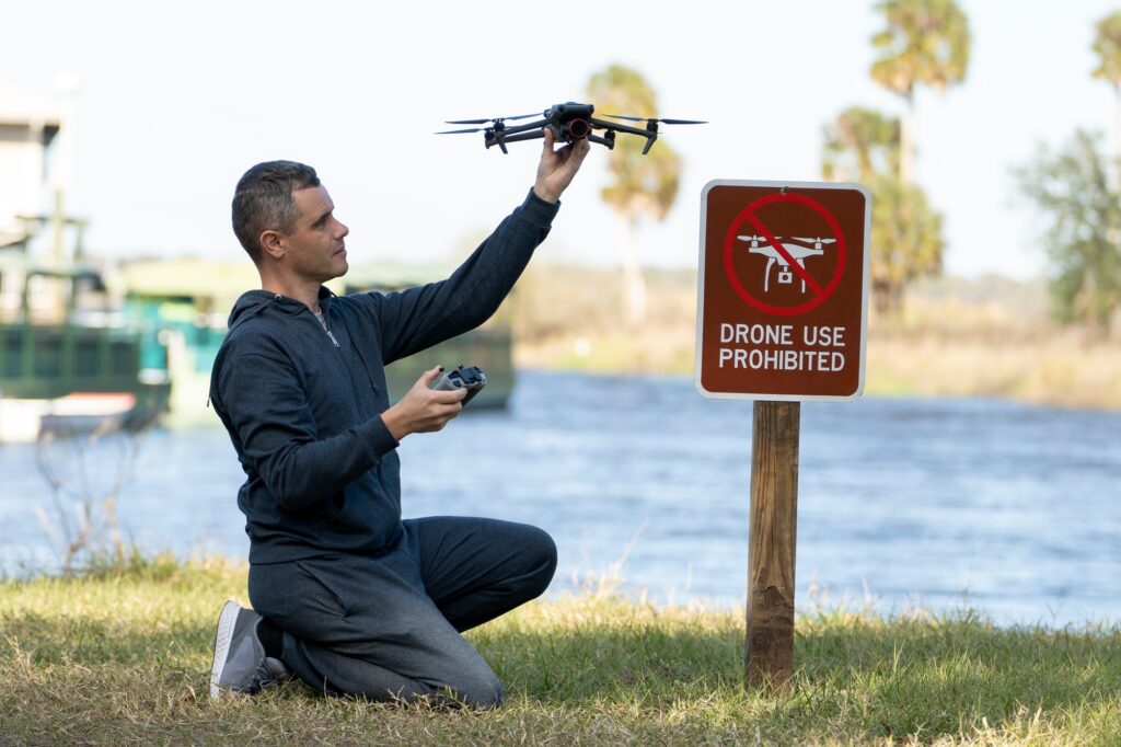
Learn aviation laws, airspace restrictions, and licensing requirements to become a certified drone pilot. This section covers rules and regulations that govern how u fly, when you fly and were you can fly..

Surveying & Mapping Technology
Utilize drones for land surveying, 3D mapping, and environmental analysis.

Emergency & Industrial Applications
Discover how drones are used in disaster response, construction, real estate, and agriculture.
Course Description
Our Drone Technology & Aerial Imaging Course provides a comprehensive education in drone operations, covering everything from flight training and aerial cinematography to data mapping and commercial applications.
Students will receive hands-on experience with industry-grade drones, learning how to pilot safely, capture professional imagery, and understand FAA regulations. Whether you’re looking to launch a drone-based career, enhance your creative projects, or apply drone technology in business, this course will give you the skills and certification knowledge needed to succeed.
